By Elizabeth R. Auma K, Trade Policy Leader/Bridging Policy, People & Purpose/ Founder, Hearts&Trade
During one interactive class engagement, we were asked to stretch our imagination and write a story. At the end of the exercise, the imaginations were indeed out of this world, yet hidden in the young minds. ‘I am my father and my father is me.’ was one story. It sounded so unimaginable indeed. Looking back on that class, we were being trained to stretch our minds.
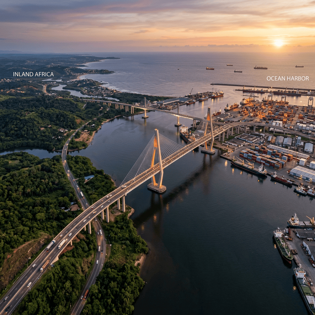
I recently found myself back in that same exercise; I believe my teacher would be proud of me. Only this time, my wild imagination came as I crossed the beautiful bridge in Dar es Salaam and watched ships dock right at the heart of the city. I couldn’t help but picture ships docking in the middle of Kampala.
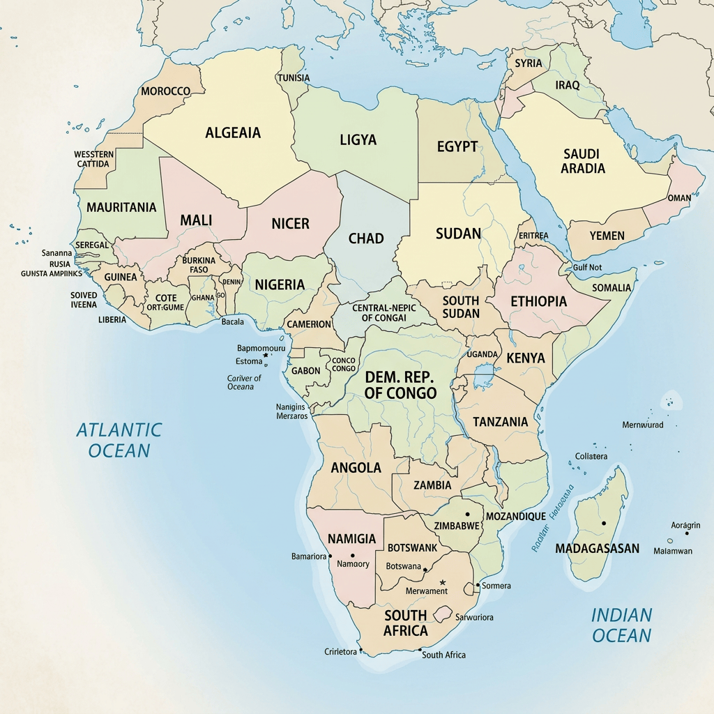
Then I thought. What if all 16 landlocked countries in Africa had real access to the sea by passing the narrow trade corridor negotiated on paper, but actual physical access?
Two things would have to be true;
- The map of Africa would change. A strip of land would need to cut through other territories. Uganda’s map would look a little strange, growing a long, thin “tail” through Kenya or Tanzania to reach the coast. Burundi, Rwanda, Ethiopia, and South Sudan at the East African and Horn would probably have the same change; West Africa’s Burkina Faso, Mali, Niger would be no different, Southern Africa’s Eswatini, Botswana, Zambia, Lesotho, Zimbabwe and Zambia along with Central Africa’s Central African Republic and Chad, would all need to be redrawn, each stretching toward the vast oceans.
- Nature would find its way through to meet each of these countries. After all, we are told that rifts are happening somewhere, but until nature finishes its course, we cannot predict.
As I reflect on this, it is not just about redesign for the sake of beauty, but about a deeper understanding of the cost that landlocked nations in Africa pay for being distant from the sea. Every territory crossed has a time and cost implication. Proximity to the sea has always carried power in trade.
Though we may not get a coastline, we can imagine what governments and all partners can intentionally develop: seamless corridors, more integrated regional infrastructure, digital trade systems that remove distance, and policies that build bridges rather than another Non-Tariff Barrier.
Maybe the map will never actually grow a tail for Uganda through Kenya to the coast. And probably it doesn’t need to. What Dar es Salaam’s ships taught me that day wasn’t about geography; it was about imagination as the first step toward better infrastructure, smarter regional policy, and trade systems where being landlocked no longer means being disadvantaged. I love what one amazing Lady Terri Savelle said; Before you can have it, you need to see it in your mind.
With the lesson I learned over 20 years ago, I realize that sometimes the most ‘unreal’ ideas are exactly the ones worth writing down.


 Hearts & Trade
Leave a comment